Explore our groundbreaking products and innovations designed to address today's challenges and shape the future. From advanced UAV platforms to state-of-the-art GIS technologies, our products are at the forefront of spatial informatics, delivering efficiency, accuracy and wide impact.
-
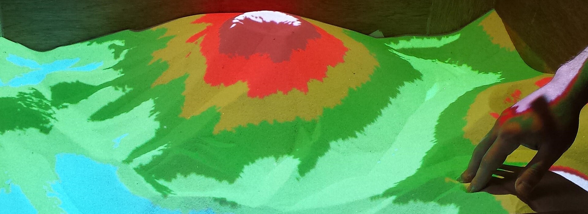
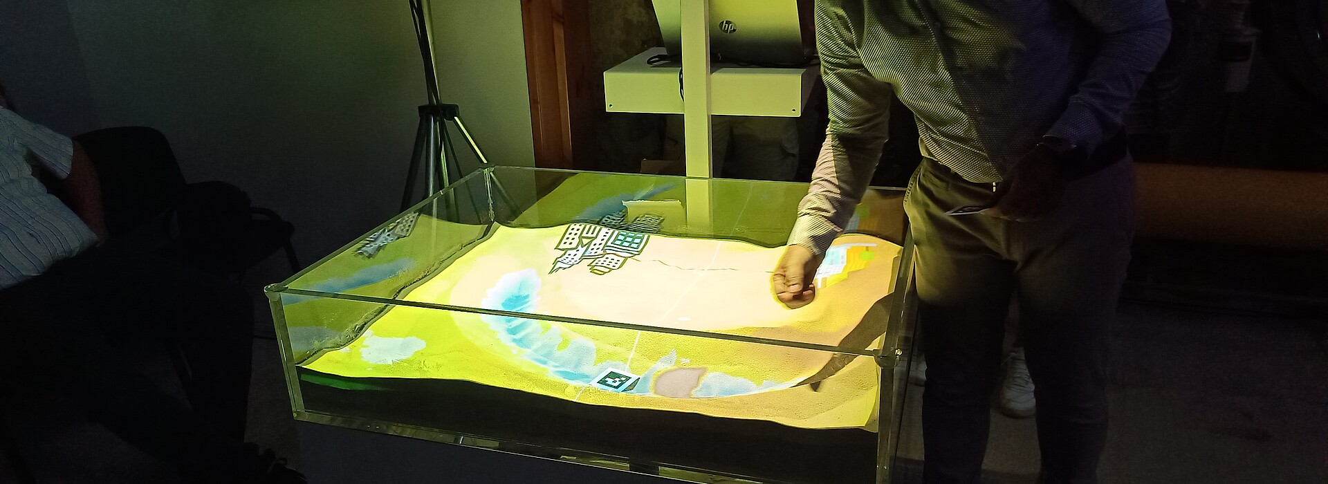
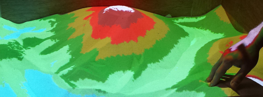
SandMap: Interactive Tangible GIS upon sand formations,
-
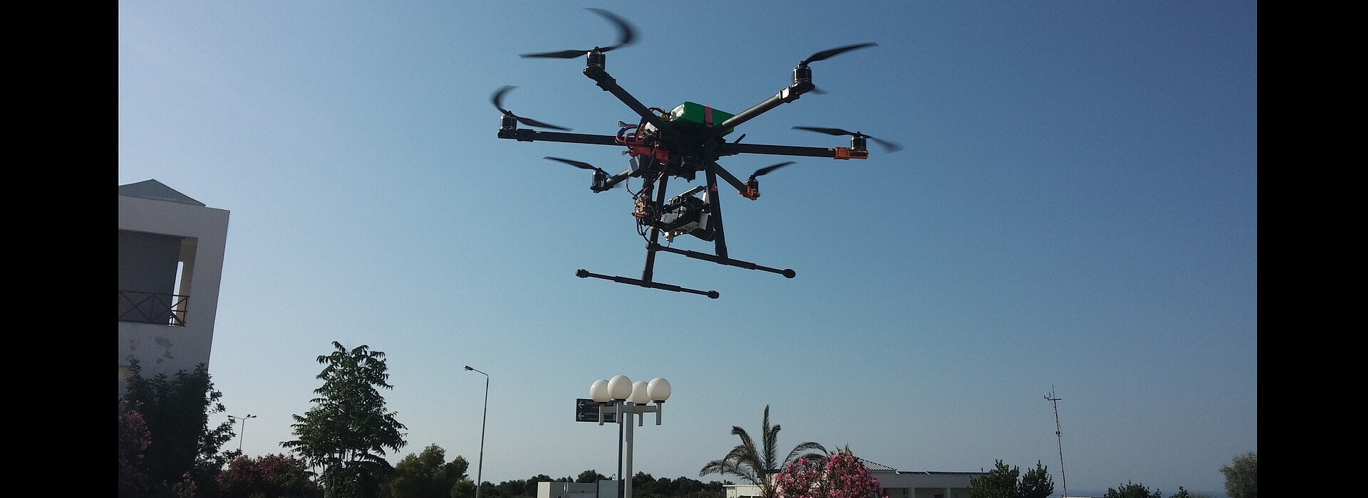
SmartDrone: Integration of a smartphone with a mobile UAV,
-
Eye-tracking navigation: Eye-tracking moving vehicle,
- Vision+: social inclusion for visually impaired people
-
Drones2GNSS: UAV assisted GPS precision enhancement
-
AIr2Sea: AI enabled collaboration of uncrewed aerial and sea surface systems for autonomous missions
-
DRMS: Development of an innovative drilling - stripping system
-
Message in a Bubble: Communication through virtual messages,
-
RescueNET: Collaborative volunteering search and rescue,
-
CybEarth: Augmented visualization of satellite data on earth scenes,
-
Awear: Wearable sensors for environmental monitoring
-
Drones4SAR: Real time geolocation for SAR,
-
SafAIR: A citizen platform for air quality information,
-
Vegadrone: Novel UAV for seeding biodiversity.